This is a slight precursor to launching my other blog page on fully researching and documenting the entire remaining parts of Western Command Stop Line No 28 / Teme stop line.
Of the defences put in place in 1940-41 to prevent an assumed German Nazi invasion of the United Kingdom and especially the defences around Worcestershire to prevent or slow the invasion reaching the industrial heartland of the English Midlands. The defence lines based around the Teme river are amongst the smallest. Despite that, they are the most interesting to me as a number were in what would even now be considered to be remote locations. The idea of using the Teme river as a natural barrier then re-enforcing with road blocks, removal or blocking of bridges combined with weapons dumps, machine gun posts and pillboxes was designed to slow any invasion party from getting up from Bristol or the Devon coasts towards the arms factories of Birmingham and the Black Country. Remote locations or not, obviously post war the weapons dumps, machine guns and active roadblocks were removed, but a few sites remained untouched.
The pillbox I looked at in Yet more on Worcestershire’s forgotten WWII history and the anti tank defences still left beside a remote road in the Teme valley, Hunting Worcestershire’s forgotten WWII history.
This weekend I got to add to this list with an even remoter road. Firstly the road has collapsed which made things even more exciting than planned, secondly I had to contend with the usual farmer fuckery on the way in with blocked footpaths. All that effort rewarded me with two pictures of 85 year old concrete blocks, although it also appears as if a number of others have (been) rolled down the bank they sit on. The Defence of Britain records date from 1996 and the HER records just mirror that, so at least I can provide a minor update to HER should anyone else wish to try to find them thirty years after the initial records.
The location itself doesn’t quite make sense, the road is small and running in the wrong orientation for any invading forces in that its NW->SE rather than SW->NE which would make more sense when heading towards Birmingham. Its possible this was a storage location intended for Newnham Bridge or Eastham Bridge both of which are near by. The underlying geography is also slightly weird in that the anti tank blocks are sort of perched on top of a very large steep bank and it looks like either time or the locals have rolled some down the bank already. I was able to find two remaining anti tank blocks and what I think is a roadblock bar, and see at least one anti tank bollard down the bank but given the thickness of the undergrowth its possible there are others I couldn’t easily find.
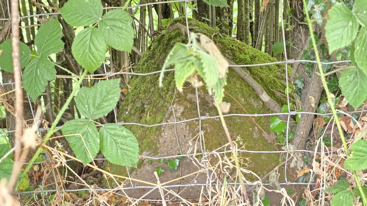 *One of the remaining visible tank defences at the side of a remote B road near Tenbury Wells.
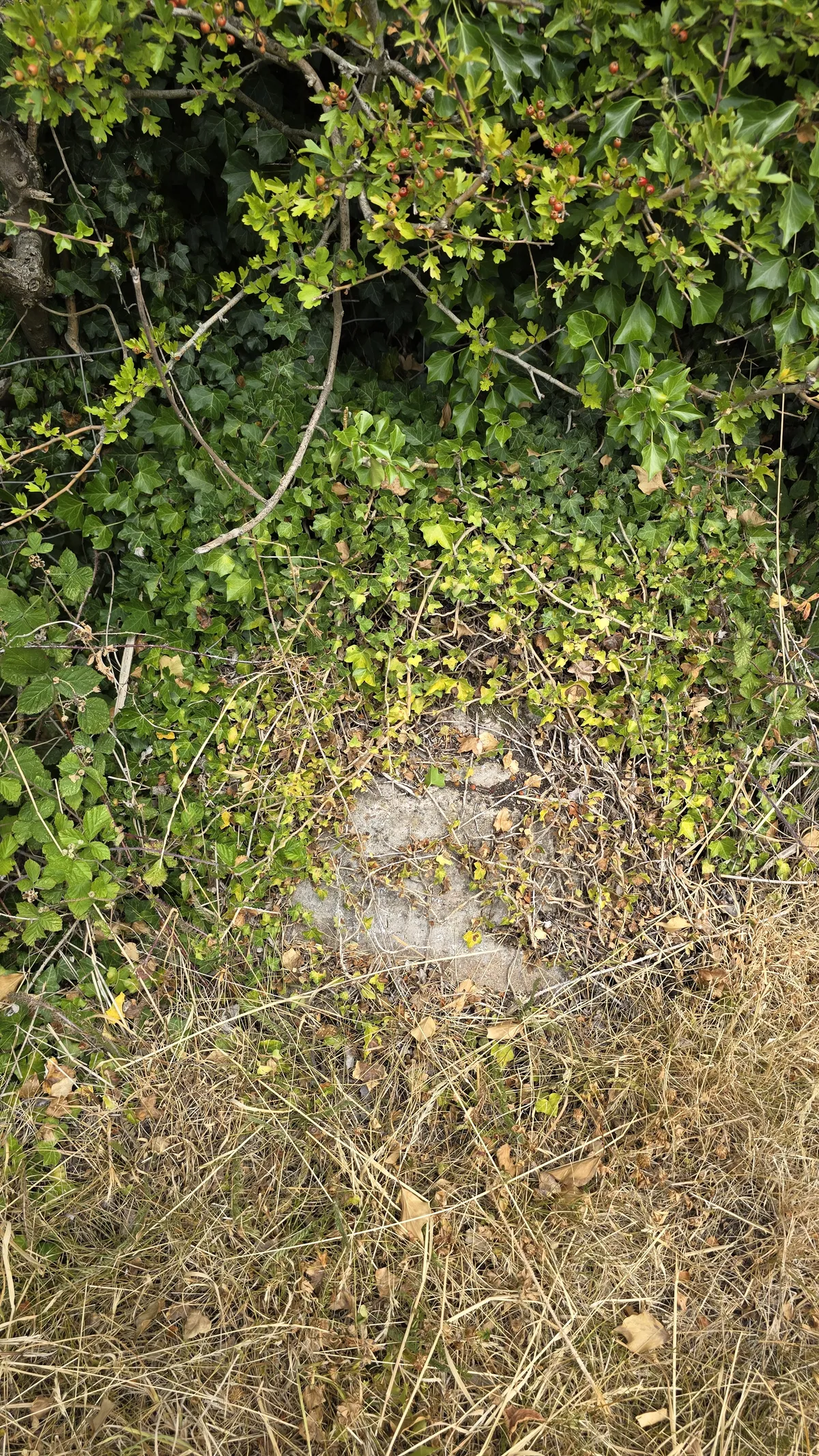 Very overgrown with ivy, this is another anti tank block
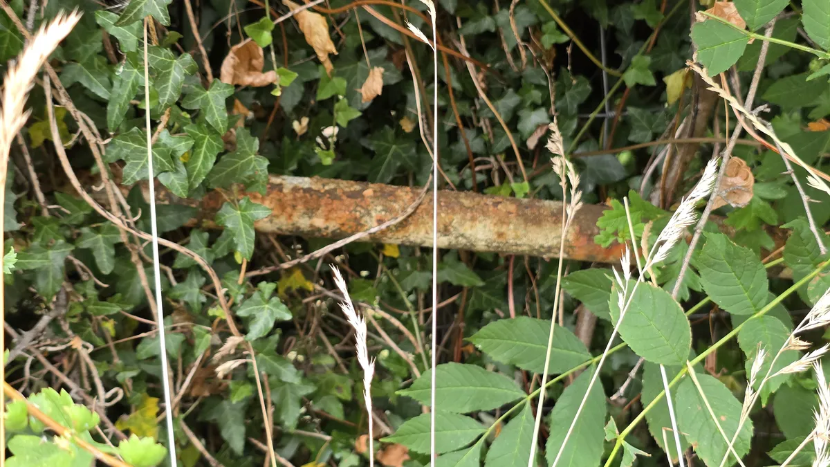 Not 100% sure but I think this is part of a roadblock still remaining here in this empty road
As ever, it added something to my walk in the beautiful Worcestershire countryside and filled in some more information for trying to see whats left of the Teme stop line.
I’ve written a number of other blogs;
Hunting Worcestershire’s forgotten WWII history
Hunting Worcestershire’s forgotten WWII history - quick follow up
Yet more on Worcestershire’s forgotten WWII history
On the various remaining defences across Worcestershire.